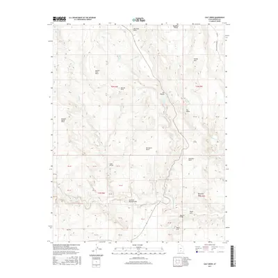
2017 Map of Calf Creek
USGS Topo · Published 2017About this map
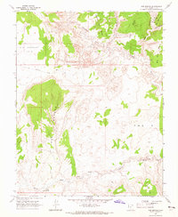
Boulder Town serves as the primary point of settlement on this high-desert plateau, where the landscape is defined by the deep incisions of Calf Cr and the Escalante River. The topography is marked by a series of prominent benches and mesas, including New Home Bench, McGath Point Bench, and Durffey Mesa. This 2017 survey reveals a complex network of natural landmarks and geological formations, including Escalante Natural Bridge, Bowington Arch, and Phipps Arch. The presence of Upper Calf Creek Falls and Lower Calf Creek Falls highlights the rare surface water features of the region. Transportation routes are sparse but significant, featuring the Burr Trl and the historic road from Moab to Boulder Town. The map also details numerous named benches such as Bowington Bench and Haymaker Bench, reflecting the distinct tiered elevation changes characteristic of this portion of Garfield County.
Find a feature on this map
46 named features on this map. Tap any name to fly to it.
Don’t see what you’re looking for? This feature index may not catch every label — zoom into the map to look around manually.
Map Details
Editions of this 2017 Calf Creek Map
This is the sole edition of this map. No revisions or reprints were ever made.
Other maps of this area

1886 · Escalante
USGS Topo · 1:250,000

1953 · Circle Cliffs 2 NE
USGS Topo · 1:24,000

1956 · Escalante
USGS Topo · 1:250,000

1960 · Escalante
USGS Topo · 1:250,000

1964 · Tenmile Flat
USGS Topo · 1:24,000
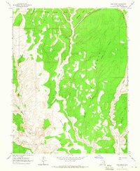
1964 · King Bench
USGS Topo · 1:24,000

1964 · Dave Canyon
USGS Topo · 1:24,000
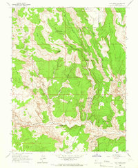
1964 · Calf Creek
USGS Topo · 1:24,000
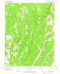
1964 · Steep Creek Bench
USGS Topo · 1:24,000
1964 · Red Breaks
USGS Topo · 1:24,000