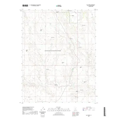
2020 Map of Calf Creek
USGS Topo · Published 2020About this map
Escalante Natural Bridge and a series of dramatic geological spans anchor this survey of the high desert landscape within the Grand Staircase-Escalante National Monument. The terrain is defined by the winding course of the Escalante River and its major tributaries, notably Calf Creek, which features both the Upper Calf Creek Falls and Lower Calf Creek Falls. To the north, the settlement of Boulder Town marks the transition from the plateau to the canyon systems.
Find a feature on this map
30 named features on this map. Tap any name to fly to it.
Don’t see what you’re looking for? This feature index may not catch every label — zoom into the map to look around manually.
Map Details
Editions of this 2020 Calf Creek Map
This is the sole edition of this map. No revisions or reprints were ever made.
Other maps of this area

1886 · Escalante
USGS Topo · 1:250,000

1953 · Circle Cliffs 2 NE
USGS Topo · 1:24,000

1956 · Escalante
USGS Topo · 1:250,000

1960 · Escalante
USGS Topo · 1:250,000

1964 · Tenmile Flat
USGS Topo · 1:24,000
1964 · King Bench
USGS Topo · 1:24,000

1964 · Dave Canyon
USGS Topo · 1:24,000
1964 · Calf Creek
USGS Topo · 1:24,000
1964 · Steep Creek Bench
USGS Topo · 1:24,000
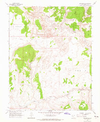
1964 · Red Breaks
USGS Topo · 1:24,000