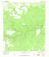
1970 Map of Calf Creek
USGS Topo · Published 1973About this map
The San Saba River cuts a prominent path through this 1970 landscape, where the borders of McCulloch, Mason, and Menard counties converge. This rural Texas Hill Country region is defined by its watercourses and ranching infrastructure, featuring the Block House Ranch and the small settlement at Calf Creek. The map documents a transition in local transportation and land use, from the traditional Twenty-Six Crossing on the river to the presence of a Private Landing Strip nearby.
Find a feature on this map
22 named features on this map. Tap any name to fly to it.
Don’t see what you’re looking for? This feature index may not catch every label — zoom into the map to look around manually.
Map Details
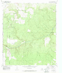
Editions of this 1970 Calf Creek Map
2 editions found
Other maps of this area

1887 · Mason
USGS Topo · 1:125,000

1892 · Eden
USGS Topo · 1:125,000

1894 · Brady
USGS Topo · 1:125,000

1894 · Mason
USGS Topo · 1:125,000

1896 · Eden
USGS Topo · 1:125,000

1954 · Brownwood
USGS Topo · 1:250,000

1954 · Llano
USGS Topo · 1:250,000

1955 · Llano
USGS Topo · 1:250,000

1956 · Llano
USGS Topo · 1:250,000

1963 · Brady SW
USGS Topo · 1:24,000