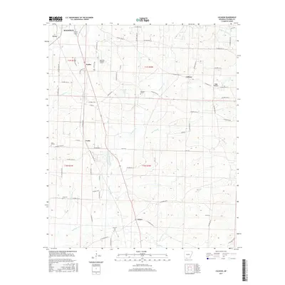
2017 Map of Calhoun
USGS Topo · Published 2017About this map
Magnolia occupies the northwestern corner of this landscape, its residential and industrial reach extending toward Walker and the Magnolia Municipal Airport. The terrain is defined by a dense network of tributaries including Little Cornie Bayou, Horsehead Cr, and Nations Cr, which carve through the pine-laden hills of Columbia County. This 2017 survey reflects the modern infrastructure of the region, where rural life centers around established settlements like Calhoun, Brister, and Kerlin. Genealogists and local researchers can locate several key burial sites across the quadrangle, from the Jerusalem Cem in the south to Kings Hill Cem and the Memorial Gardens nearer to the city center. The presence of Tide Water suggests the enduring influence of the local petroleum and water industries on the settlement patterns of southwestern Arkansas.
Find a feature on this map
67 named features on this map. Tap any name to fly to it.
Don’t see what you’re looking for? This feature index may not catch every label — zoom into the map to look around manually.
Map Details
Editions of this 2017 Calhoun Map
This is the sole edition of this map. No revisions or reprints were ever made.
Other maps of this area

1953 · El Dorado
USGS Topo · 1:250,000

1957 · El Dorado
USGS Topo · 1:250,000

1958 · El Dorado
USGS Topo · 1:250,000

1960 · El Dorado
USGS Topo · 1:250,000

1960 · Walkerville
USGS Topo · 1:24,000

1960 · Macedonia
USGS Topo · 1:24,000

1966 · Village
USGS Topo · 1:24,000

1966 · Calhoun
USGS Topo · 1:24,000

1966 · Spotville
USGS Topo · 1:24,000

1968 · Waldo
USGS Topo · 1:24,000