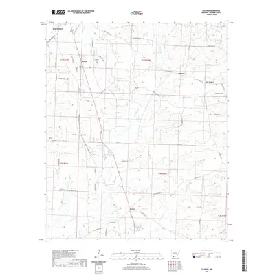
2020 Map of Calhoun
USGS Topo · Published 2020About this map
Magnolia anchors the northwestern corner of this landscape, where the street grid of Partee transitions into the rural reaches of Columbia County. The area is defined by a dense network of county roads and numerous watercourses like Little Cornie Bayou and Horsehead Cr, which carve through the southern Arkansas terrain. Small, established settlements such as Walker, Calhoun, and Brister are scattered throughout, often situated near specific drainage basins or local landmarks like Ralph C Weiser Field.
Find a feature on this map
69 named features on this map. Tap any name to fly to it.
Don’t see what you’re looking for? This feature index may not catch every label — zoom into the map to look around manually.
Map Details
Editions of this 2020 Calhoun Map
This is the sole edition of this map. No revisions or reprints were ever made.
Other maps of this area

1953 · El Dorado
USGS Topo · 1:250,000

1957 · El Dorado
USGS Topo · 1:250,000

1958 · El Dorado
USGS Topo · 1:250,000

1960 · El Dorado
USGS Topo · 1:250,000

1960 · Walkerville
USGS Topo · 1:24,000

1960 · Macedonia
USGS Topo · 1:24,000

1966 · Village
USGS Topo · 1:24,000

1966 · Calhoun
USGS Topo · 1:24,000

1966 · Spotville
USGS Topo · 1:24,000

1968 · Waldo
USGS Topo · 1:24,000