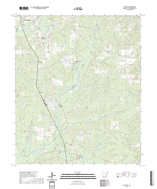
2024 Map of Calhoun
USGS Topo · Published 2024About this map
Little Cornie Bayou and Horsehead Creek drain this section of Columbia County, where rural settlements like Brister, Kerlin, and Calhoun are connected by a network of local roads including Albemarle Rd and Etheyl Rd. The landscape reflects a mix of family-owned lands and community hubs, evidenced by long-standing burial grounds such as Jerusalem Cem and West Plainview Cem Cem. Aviation and recreation intersect at Ralph C Weiser Field, while Memorial Gardens and Kings Hill Cem mark significant historical points for local genealogists. The topography is defined by small water systems like Honduras Branch and White Oak Branch, illustrating the typical creek-fed drainage patterns of southern Arkansas. The area is characterized by these small-scale settlements and the transition from the southern edge of Magnolia into the surrounding countryside.
Find a feature on this map
72 named features on this map. Tap any name to fly to it.
Don’t see what you’re looking for? This feature index may not catch every label — zoom into the map to look around manually.
Map Details
Editions of this 2024 Calhoun Map
This is the sole edition of this map. No revisions or reprints were ever made.
Other maps of this area

1953 · El Dorado
USGS Topo · 1:250,000

1957 · El Dorado
USGS Topo · 1:250,000

1958 · El Dorado
USGS Topo · 1:250,000

1960 · El Dorado
USGS Topo · 1:250,000

1960 · Walkerville
USGS Topo · 1:24,000

1960 · Macedonia
USGS Topo · 1:24,000

1966 · Village
USGS Topo · 1:24,000

1966 · Calhoun
USGS Topo · 1:24,000

1966 · Spotville
USGS Topo · 1:24,000

1968 · Waldo
USGS Topo · 1:24,000