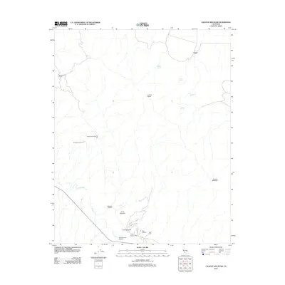
2012 Map of Caliente Mountain
USGS Topo · Published 2012About this map
Oil extraction and ranching define this high-desert corridor of Santa Barbara County. The Taylor Canyon Oil Field and Government Eighteen Oil Field are situated along the northern slopes of the Caliente Range, while the Russel Ranch Oil Field sits in the valley below. This industrial activity contrasts with the traditional land use of the Washburn Ranch and Selby Ranch, which occupy the more open reaches of the landscape. The geography is shaped by the Cuyama River as it winds past Whiterock Bluff and Chalk Mountain. Isolated water sources, such as Black Sulphur Spring and Goat Spring, provide rare points of relief in this arid terrain. The map also traces deep drainages like Morales Canyon and Schoolhouse Canyon, which cut through the uplifted ridges toward the prominent peak of Caliente Mountain.
Find a feature on this map
18 named features on this map. Tap any name to fly to it.
Don’t see what you’re looking for? This feature index may not catch every label — zoom into the map to look around manually.
Map Details
Editions of this 2012 Caliente Mountain Map
This is the sole edition of this map. No revisions or reprints were ever made.
Other maps of this area

1902 · Santa Ynez
USGS Topo · 1:125,000

1905 · Santa Ynez
USGS Topo · 1:125,000

1912 · McKittrick
USGS Topo · 1:125,000

1941 · Caliente Mountain
USGS Topo · 1:62,500

1941 · McPherson Peak
USGS Topo · 1:62,500

1942 · Caliente Mtn
USGS Topo · 1:62,500

1943 · McPherson Peak
USGS Topo · 1:62,500

1943 · Caliente Mtn.
USGS Topo · 1:62,500

1943 · Cuyama Ranch
USGS Topo · 1:31,680

1944 · Panorama Hills
USGS Topo · 1:31,680