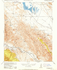
1952 Map of Caliente Mountain
USGS Topo · Published 1952About this map
Soda Lake dominates the northern basin of this 1952 topographic study, marking the arid heart of the Carrizo Plain. To the south, the terrain rises sharply into the Caliente Range, culminating at the Caliente Mtn Lookout. This landscape is defined by its remote ranching outposts and ephemeral water sources, with scattered cattle operations like Spanish Ranch, Goodwin Ranch, and Chimineas Ranch connected by primitive roads and trails. The Cuyama River carves the southern boundary, following the line between San Luis Obispo and Santa Barbara counties.
Find a feature on this map
40 named features on this map. Tap any name to fly to it.
Don’t see what you’re looking for? This feature index may not catch every label — zoom into the map to look around manually.
Map Details
Editions of this 1952 Caliente Mountain Map
This is the sole edition of this map. No revisions or reprints were ever made.
Other maps of this area

1902 · Santa Ynez
USGS Topo · 1:125,000

1905 · Santa Ynez
USGS Topo · 1:125,000

1905 · Lompoc
USGS Topo · 1:125,000

1912 · McKittrick
USGS Topo · 1:125,000

1932 · La Panza
USGS Topo · 1:48,000

1935 · La Panza
USGS Topo · 1:62,500

1936 · La Panza
USGS Topo · 1:62,500

1937 · Branch Mtn
USGS Topo · 1:48,000

1941 · Caliente Mountain
USGS Topo · 1:62,500

1941 · McPherson Peak
USGS Topo · 1:62,500