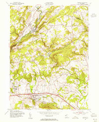
1954 Map of Califon
USGS Topo · Published 1955About this map
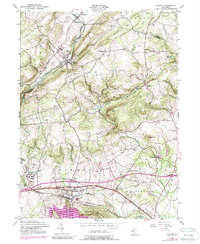
The South Branch Raritan River carves through the landscape of northern Hunterdon County, anchoring a mid-century network of small settlements and transit corridors. The Central Railroad of New Jersey follows the river valley through Califon and Vernoy, illustrating how topography dictated the rail infrastructure of the era. To the south, the expansion of New Jersey 22 through Lebanon marks the early modernization of regional travel, contrasting with the narrow valley roads leading to Mountainville and Cokesbury.
Find a feature on this map
46 named features on this map. Tap any name to fly to it.
Don’t see what you’re looking for? This feature index may not catch every label — zoom into the map to look around manually.
Map Details
Editions of this 1954 Califon Map
5 editions found
Other maps of this area

1888 · Hackettstown
USGS Topo · 1:62,500

1888 · Lake Hopatcong
USGS Topo · 1:62,500

1890 · High Bridge
USGS Topo · 1:62,500

1891 · Somerville
USGS Topo · 1:62,500

1893 · Somerville
USGS Topo · 1:62,500

1894 · Hackettstown
USGS Topo · 1:62,500

1894 · Lake Hopatcong
USGS Topo · 1:62,500

1898 · Lake Hopatcong
USGS Topo · 1:62,500

1898 · Hackettstown
USGS Topo · 1:62,500

1898 · High Bridge
USGS Topo · 1:62,500