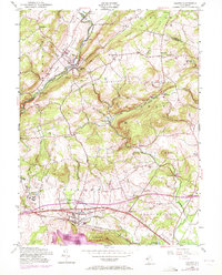
1954 Map of Califon
USGS Topo · Published 1972About this map
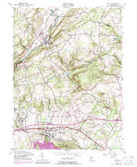
The South Branch Raritan River carves through the landscape near Califon, where the Central Railroad of New Jersey follows the water's edge. This mid-century view captures a period of transition in Hunterdon County, showing the proximity of early industrial and agricultural nodes like Pottersville and Oldwick to newer infrastructure. The map reveals the expansion of the Round Valley Reservoir at the southern edge, a massive engineering project that reshaped the terrain near Cushetunk Mountain. Genealogists will find numerous small-scale landmarks, including Fairmount Cem and several local schools, preserved at a scale that shows their relation to the rural road network. The presence of the State Reformatory and the scattered crossroads of Mountainville and Cokesbury illustrate the diverse social and economic character of the region during the 1950s and its subsequent revision in the early 1970s.
Find a feature on this map
46 named features on this map. Tap any name to fly to it.
Don’t see what you’re looking for? This feature index may not catch every label — zoom into the map to look around manually.
Map Details
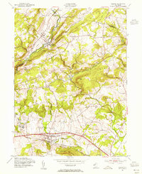
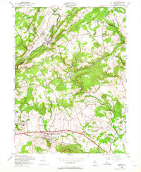
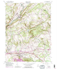
Editions of this 1954 Califon Map
5 editions found
Other maps of this area

1888 · Hackettstown
USGS Topo · 1:62,500

1888 · Lake Hopatcong
USGS Topo · 1:62,500

1890 · High Bridge
USGS Topo · 1:62,500

1891 · Somerville
USGS Topo · 1:62,500

1893 · Somerville
USGS Topo · 1:62,500

1894 · Hackettstown
USGS Topo · 1:62,500

1894 · Lake Hopatcong
USGS Topo · 1:62,500

1898 · Lake Hopatcong
USGS Topo · 1:62,500

1898 · Hackettstown
USGS Topo · 1:62,500

1898 · High Bridge
USGS Topo · 1:62,500