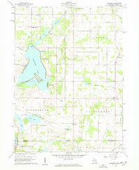
1960 Map of California
USGS Topo · Published 1962About this map
Coldwater Lake dominates the center of this 1960 landscape, bordered by small resort-style developments like Crystal Beach, Sans Souci Beach, and Pearl Beach. The map highlights a rural interface between Michigan and Indiana, where agricultural land in Algansee and Kinderhook is dotted with local heritage markers. Genealogists will find a high density of small burial grounds, including Wilson Cem, Lester Cem, and Munday Cem, alongside early community structures like Stokes Chapel and the Amish Sch.
Find a feature on this map
44 named features on this map. Tap any name to fly to it.
Don’t see what you’re looking for? This feature index may not catch every label — zoom into the map to look around manually.
Map Details
Editions of this 1960 California Map
2 editions found
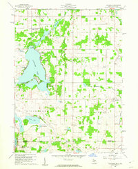
Other maps of this area

1939 · Angola East
USGS Topo · 1:24,000

1939 · Clear Lake
USGS Topo · 1:24,000

1940 · Clear Lake
USGS Topo · 1:24,000

1941 · Angola West
USGS Topo · 1:24,000

1942 · Angola West
USGS Topo · 1:24,000

1947 · Angola East
USGS Topo · 1:24,000

1953 · Fort Wayne
USGS Topo · 1:250,000

1956 · Fort Wayne
USGS Topo · 1:250,000

1960 · Coldwater West
USGS Topo · 1:24,000

1960 · Coldwater East
USGS Topo · 1:24,000