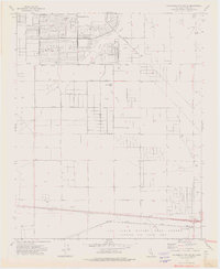
1973 Map of California City South
USGS Topo · Published 1976About this map
The planned grid of California City dominates this arid landscape, showing a massive network of ambitious residential streets like Valley Blvd and Great Circle during the mid-1970s. While many roads appear as surveyed lines in the desert, the map identifies specific infrastructure such as Ulrich Sch and several well sites that supported the budding community. The northern portion of the Air Force Flight Test Center Edwards Air Force Base occupies the southern edge of the sheet, where the Atchison Topeka and Santa Fe railroad line runs through Edwards Siding. Prominent geological landmarks including Castle Butte and Desert Butte provide natural orientation points amidst the vast network of pipelines and prospect pits, reflecting the intersection of military operations, mining, and suburban desert development.
Find a feature on this map
36 named features on this map. Tap any name to fly to it.
Don’t see what you’re looking for? This feature index may not catch every label — zoom into the map to look around manually.
Map Details
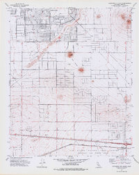
Editions of this 1973 California City South Map
2 editions found
Other maps of this area

1915 · Elizabeth Lake
USGS Topo · 1:125,000

1915 · Searles Lake
USGS Topo · 1:250,000

1915 · Mojave
USGS Topo · 1:125,000

1917 · Elizabeth Lake
USGS Topo · 1:125,000

1937 · Rogers Lake
USGS Topo · 1:48,000

1942 · Rogers Lake
USGS Topo · 1:62,500

1943 · Rosamond
USGS Topo · 1:62,500

1943 · Castle Butte
USGS Topo · 1:62,500

1943 · Mojave
USGS Topo · 1:62,500

1947 · Fluhr
USGS Topo · 1:24,000