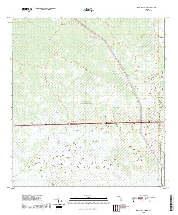
2024 Map of California Slough
USGS Topo · Published 2024About this map
Big Cypress National Preserve occupies the central portion of this map, illustrating the complex hydrology of South Florida where the Collier and Broward county lines meet. The landscape is defined by its strands—linear wetland forests—including Canoe Lake Strand, Goddens Strand, and Cow Bell Strand. These natural drainage patterns are intersected by man-made engineering, most notably the Interceptor Canal and the L-28 road and levee system, which cut diagonally across the cypress swamps.
Find a feature on this map
24 named features on this map. Tap any name to fly to it.
Don’t see what you’re looking for? This feature index may not catch every label — zoom into the map to look around manually.
Map Details
Editions of this 2024 California Slough Map
This is the sole edition of this map. No revisions or reprints were ever made.
Other maps of this area

1956 · West Palm Beach
USGS Topo · 1:250,000

1957 · West Palm Beach
USGS Topo · 1:250,000

1958 · West Palm Beach
USGS Topo · 1:250,000

1973 · Everglades 3 NE
USGS Topo · 1:24,000

1974 · Everglades 2 SW
USGS Topo · 1:24,000

1974 · Immokalee 1 SE
USGS Topo · 1:24,000

1974 · Everglades 2 SE
USGS Topo · 1:24,000
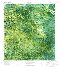
1974 · Everglades 3 SW
USGS Topo · 1:24,000
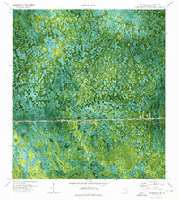
1974 · Immokalee 4 NE
USGS Topo · 1:24,000
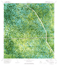
1974 · Everglades 3 NW
USGS Topo · 1:24,000