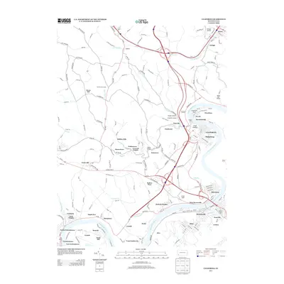
2013 Map of California
USGS Topo · Published 2013About this map
The Monongahela River carves a deep, winding path through this corner of Washington County, defining the development of riverfront towns like California and Coal Center. The landscape is etched with steep ravines such as Oregon Hollow and Granville Hollow, where small settlements like Granville and Smallwood are tucked into the valley floor. The river's historical importance as a transit corridor is signaled by the Simpson Ferry and the tight clustering of communities at Greenfield Bend.
Find a feature on this map
179 named features on this map. Tap any name to fly to it.
Don’t see what you’re looking for? This feature index may not catch every label — zoom into the map to look around manually.
Map Details
Editions of this 2013 California Map
This is the sole edition of this map. No revisions or reprints were ever made.
Other maps of this area

1900 · Masontown
USGS Topo · 1:62,500

1901 · Amity
USGS Topo · 1:62,500

1901 · Waynesburg
USGS Topo · 1:62,500

1902 · Brownsville
USGS Topo · 1:62,500

1903 · Masontown
USGS Topo · 1:62,500

1904 · Amity
USGS Topo · 1:62,500

1904 · Waynesburg
USGS Topo · 1:62,500

1906 · Brownsville
USGS Topo · 1:62,500

1931 · Brownsville
USGS Topo · 1:62,500

1931 · Masontown
USGS Topo · 1:62,500