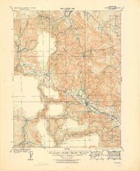
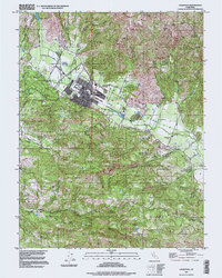
1958 Map of Calistoga
USGS Topo · Published 1961About this map
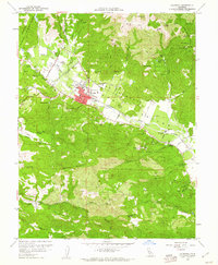
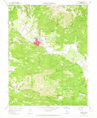
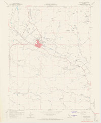
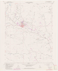
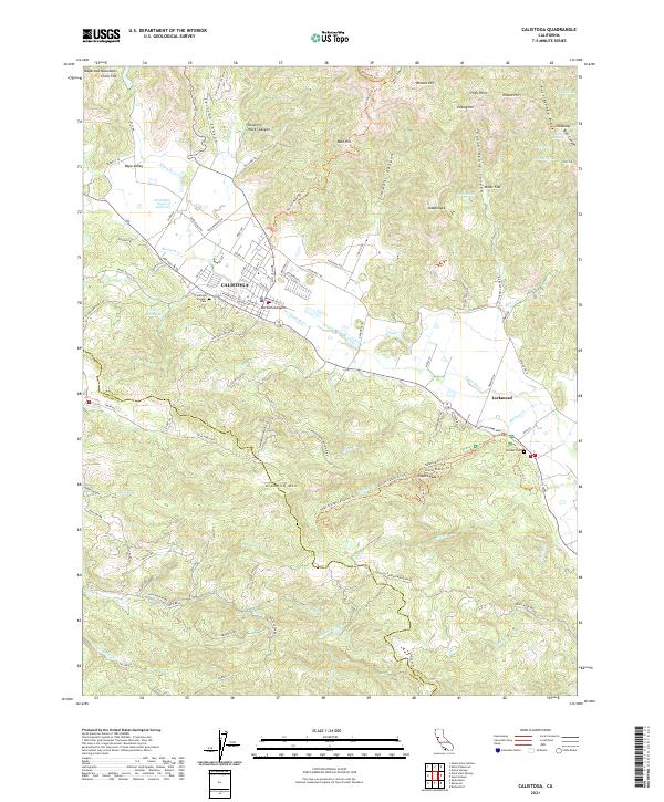
The Napa Valley wine country is captured in this 1950s study, anchored by the settlement of Calistoga. The Napa River meanders through the valley floor, flanked by the Southern Pacific railroad and the Silverado Trail. This era reveals the intersection of early viticulture and the region's industrial past, featuring the Schramsberg Winery Historical Marker alongside the Palisade Mine and Kellet Mine.
Find a feature on this map
69 named features on this map. Tap any name to fly to it.
Don’t see what you’re looking for? This feature index may not catch every label — zoom into the map to look around manually.
Map Details
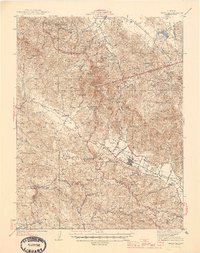
Editions of this 1958 Calistoga Map
5 editions found
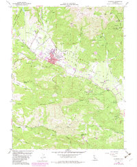
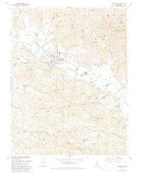
Historical Maps of Calistoga Through Time
11 maps found
1927 Calistoga
Napa County, CA

1943 Calistoga
Napa County, CA
1945 Calistoga
Napa County, CA
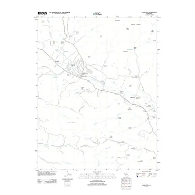
1958 Calistoga
Napa County, CA

1959 Calistoga
Napa County, CA
1993 Calistoga
Napa County, CA
1997 Calistoga
Napa County, CA
2012 Calistoga
Napa County, CA
2015 Calistoga
Napa County, CA
2018 Calistoga
Napa County, CA
2021 Calistoga
Napa County, CA