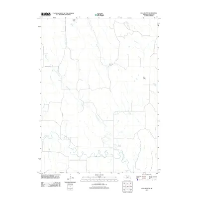
2011 Map of Callaway SE
USGS Topo · Published 2011About this map
South Loup River meanders through the southern reaches of this Custer County landscape, defining the local drainage and topography in the early 21st century. The terrain is characterized by its distinct landforms, ranging from the elevated Ryno Table in the east to the indented paths of Yellow Dog Canyon and Custer Canyon. This area of central Nebraska shows a transition from high tablelands to the valley floors of Turner Valley and the banks of Ash Creek.
Find a feature on this map
12 named features on this map. Tap any name to fly to it.
Don’t see what you’re looking for? This feature index may not catch every label — zoom into the map to look around manually.
Map Details
Editions of this 2011 Callaway SE Map
This is the sole edition of this map. No revisions or reprints were ever made.
Other maps of this area

1951 · Broken Bow SW
USGS Topo · 1:24,000

1951 · Callaway NW
USGS Topo · 1:24,000

1951 · Broken Bow
USGS Topo · 1:24,000

1951 · Merna
USGS Topo · 1:24,000

1951 · Callaway SE
USGS Topo · 1:24,000

1951 · Callaway
USGS Topo · 1:24,000

1951 · Eddyville NW
USGS Topo · 1:24,000

1951 · Oconto NW
USGS Topo · 1:24,000

1951 · Oconto
USGS Topo · 1:24,000

1955 · Broken Bow
USGS Topo · 1:250,000