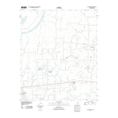
2010 Map of Callisburg
USGS Topo · Published 2010About this map
The Red River defines the northwestern boundary of this Cooke County landscape, where the rural settlements of Callisburg, Custer City, and Oak Ridge anchor a network of agricultural and industrial roads. Local genealogy is well-supported by several burial sites, including Callisburg Cemetery, Center Hill Cemetery, and Union Hill Cemetery, which are distributed among the creeks and branches that feed the river system. The presence of the Callisburg Oil Field east of the main town site points to the region's long-standing reliance on energy extraction alongside traditional ranching. Water management and conservation are evident through numerous small ponds and the named Soil Conservation Service Site 11b Dam and Site 12 Dam, while Camp Sweeney and Lake Dealey mark recreational and community landmarks in the eastern portion of the survey.
Find a feature on this map
76 named features on this map. Tap any name to fly to it.
Don’t see what you’re looking for? This feature index may not catch every label — zoom into the map to look around manually.
Map Details
Editions of this 2010 Callisburg Map
This is the sole edition of this map. No revisions or reprints were ever made.
Other maps of this area

1901 · Denison
USGS Topo · 1:125,000

1902 · Gainesville
USGS Topo · 1:125,000

1943 · Gainesville
USGS Topo · 1:125,000

1954 · Sherman
USGS Topo · 1:250,000

1958 · Gordonville
USGS Topo · 1:62,500

1958 · Whitesboro
USGS Topo · 1:62,500

1958 · Sherman
USGS Topo · 1:250,000

1960 · Callisburg
USGS Topo · 1:24,000

1960 · Gainesville South
USGS Topo · 1:24,000

1960 · Gainesville North
USGS Topo · 1:24,000