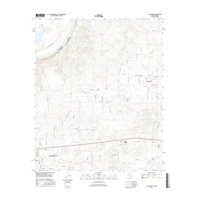
2016 Map of Callisburg
USGS Topo · Published 2016About this map
The Red River defines the northern boundary of this Cooke County landscape, marking the transition between Oklahoma and Texas. The terrain is deeply etched by a network of seasonal and permanent watercourses, including Rock Creek, Wheeler Creek, and Hickory Creek, which flow toward the larger river basin. While the southern edge is dominated by the outskirts of Gainesville, the rural character of the region is preserved through small settlements like Callisburg and Oak Ridge. Genealogists will find significant value in the distribution of family and community burial grounds, such as Center Hill Cemetery and Nelson Grove Cemetery. The presence of Three Acres Airport and the damming at Lake Dealey illustrate the intersection of private land use and local water management within this agricultural and residential corridor.
Find a feature on this map
107 named features on this map. Tap any name to fly to it.
Don’t see what you’re looking for? This feature index may not catch every label — zoom into the map to look around manually.
Map Details
Editions of this 2016 Callisburg Map
This is the sole edition of this map. No revisions or reprints were ever made.
Other maps of this area

1901 · Denison
USGS Topo · 1:125,000

1902 · Gainesville
USGS Topo · 1:125,000

1943 · Gainesville
USGS Topo · 1:125,000

1954 · Sherman
USGS Topo · 1:250,000

1958 · Gordonville
USGS Topo · 1:62,500

1958 · Whitesboro
USGS Topo · 1:62,500

1958 · Sherman
USGS Topo · 1:250,000

1960 · Callisburg
USGS Topo · 1:24,000

1960 · Gainesville South
USGS Topo · 1:24,000

1960 · Gainesville North
USGS Topo · 1:24,000