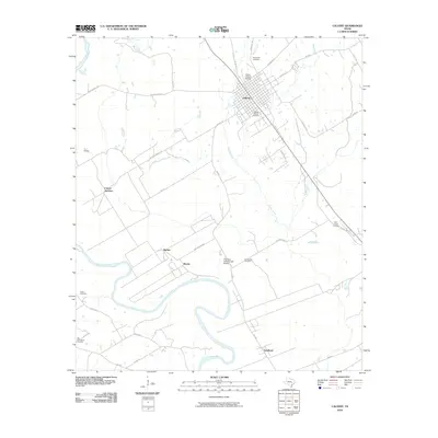
2010 Map of Calvert
USGS Topo · Published 2010About this map
The Calvert Historic District serves as the focal point of this Robertson County survey, preserving the architectural and civic layout of a significant Texas rail town. Located along the eastern bank of the Brazos River, the landscape is defined by the winding paths of Tidwell Creek and Sandy Creek which cut through agricultural lands connected by a web of rural routes like Wildcat Rd and Barton Farm Rd.
Find a feature on this map
41 named features on this map. Tap any name to fly to it.
Don’t see what you’re looking for? This feature index may not catch every label — zoom into the map to look around manually.
Map Details
Editions of this 2010 Calvert Map
This is the sole edition of this map. No revisions or reprints were ever made.
Other maps of this area

1954 · Waco
USGS Topo · 1:250,000

1954 · Austin
USGS Topo · 1:250,000

1955 · Waco
USGS Topo · 1:250,000

1961 · Hanover
USGS Topo · 1:24,000

1961 · Hearne North
USGS Topo · 1:24,000

1961 · Baileyville
USGS Topo · 1:24,000

1961 · Hearne South
USGS Topo · 1:24,000

1962 · Calvert
USGS Topo · 1:24,000

1962 · Maysfield
USGS Topo · 1:24,000

1962 · Hammond
USGS Topo · 1:24,000