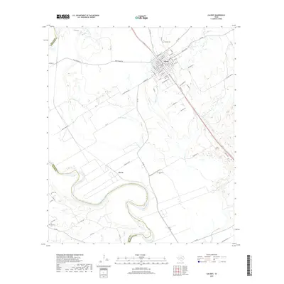
2019 Map of Calvert
USGS Topo · Published 2019About this map
Calvert serves as the central hub of this survey, showcasing a grid of residential and commercial streets such as Texas St, Hanna St, and Mitchell St. The town is surrounded by a rich network of burial grounds that reflect the area's local history and family lineages, including Calvert Beauty Cem, Sunnyside Cem, and Saint Lukes Cem. To the southwest, the Brazos River creates a meandering border between Robertson and Milam counties, defining the low-lying agricultural landscape of the river bottom.
Find a feature on this map
74 named features on this map. Tap any name to fly to it.
Don’t see what you’re looking for? This feature index may not catch every label — zoom into the map to look around manually.
Map Details
Editions of this 2019 Calvert Map
This is the sole edition of this map. No revisions or reprints were ever made.
Other maps of this area

1954 · Waco
USGS Topo · 1:250,000

1954 · Austin
USGS Topo · 1:250,000

1955 · Waco
USGS Topo · 1:250,000

1961 · Hanover
USGS Topo · 1:24,000

1961 · Hearne North
USGS Topo · 1:24,000

1961 · Baileyville
USGS Topo · 1:24,000

1961 · Hearne South
USGS Topo · 1:24,000

1962 · Calvert
USGS Topo · 1:24,000

1962 · Maysfield
USGS Topo · 1:24,000

1962 · Hammond
USGS Topo · 1:24,000