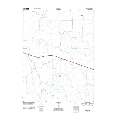
2012 Map of Calwood
USGS Topo · Published 2012About this map
The settlement of Bachelor serves as a primary marker on this landscape in northern Callaway County. The area is defined by the headwaters and branches of numerous watercourses, including the north-flowing Hunt Branch, Harrison Branch, and Yates Branch, which drain the open country above the Missouri River valley. The central corridor is dominated by the modern path of Interstate 70 as it crosses the Auxvasse Creek basin, illustrating the evolution of transport through this agricultural region. Evidence of local history and family legacy is found in sites like Harrison Cemetery and Fairview Cemetery, while the presence of Tates Prairie reflects the natural grasslands that once characterized these central Missouri uplands.
Find a feature on this map
1 named feature on this map. Tap any name to fly to it.
Don’t see what you’re looking for? This feature index may not catch every label — zoom into the map to look around manually.
Map Details
Editions of this 2012 Calwood Map
This is the sole edition of this map. No revisions or reprints were ever made.
Other maps of this area

1890 · Mexico
USGS Topo · 1:125,000

1890 · Fulton
USGS Topo · 1:125,000

1928 · Fulton
USGS Topo · 1:62,500

1931 · Fulton
USGS Topo · 1:62,500

1932 · Mexico
USGS Topo · 1:62,500

1940 · Montgomery City
USGS Topo · 1:62,500

1942 · Montgomery City
USGS Topo · 1:62,500

1942 · Wellsville
USGS Topo · 1:62,500

1948 · Quincy
USGS Topo · 1:250,000

1949 · Saint Louis
USGS Topo · 1:250,000