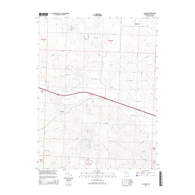
2015 Map of Calwood
USGS Topo · Published 2015About this map
Calwood and Bachelor sit within a landscape defined by the branching tributaries of Auxvasse Creek in this 2015 U.S. Geological Survey representation. The terrain is deeply carved by numerous named waterways, including Harrison Br, Whetstone Cr, and Hunt Br, which dictate the winding paths of the local road network. For those studying family history in Callaway County, the map provides precise locations for Harrison Cemetery in the north and Fairview Cemetery near the southern border.
Find a feature on this map
72 named features on this map. Tap any name to fly to it.
Don’t see what you’re looking for? This feature index may not catch every label — zoom into the map to look around manually.
Map Details
Editions of this 2015 Calwood Map
This is the sole edition of this map. No revisions or reprints were ever made.
Other maps of this area

1890 · Mexico
USGS Topo · 1:125,000

1890 · Fulton
USGS Topo · 1:125,000

1928 · Fulton
USGS Topo · 1:62,500

1931 · Fulton
USGS Topo · 1:62,500

1932 · Mexico
USGS Topo · 1:62,500

1940 · Montgomery City
USGS Topo · 1:62,500

1942 · Montgomery City
USGS Topo · 1:62,500

1942 · Wellsville
USGS Topo · 1:62,500

1948 · Quincy
USGS Topo · 1:250,000

1949 · Saint Louis
USGS Topo · 1:250,000