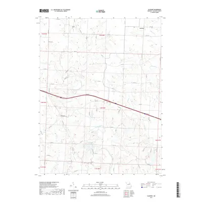
2017 Map of Calwood
USGS Topo · Published 2017About this map
Auxvasse Creek meanders through the heart of this Callaway County landscape, carving a complex drainage network that includes Whetstone Cr and Harrison Crk. The settlement of Calwood sits at a crossroads in the southwestern portion of the sheet, while the smaller community of Bachelor is positioned to the northeast. Transportation history is visible in the alignment of Old US Hwy 40 and St Charles Rd, tracing routes across the undulating terrain north of Leisure Lake.
Find a feature on this map
80 named features on this map. Tap any name to fly to it.
Don’t see what you’re looking for? This feature index may not catch every label — zoom into the map to look around manually.
Map Details
Editions of this 2017 Calwood Map
This is the sole edition of this map. No revisions or reprints were ever made.
Other maps of this area

1890 · Mexico
USGS Topo · 1:125,000

1890 · Fulton
USGS Topo · 1:125,000

1928 · Fulton
USGS Topo · 1:62,500

1931 · Fulton
USGS Topo · 1:62,500

1932 · Mexico
USGS Topo · 1:62,500

1940 · Montgomery City
USGS Topo · 1:62,500

1942 · Montgomery City
USGS Topo · 1:62,500

1942 · Wellsville
USGS Topo · 1:62,500

1948 · Quincy
USGS Topo · 1:250,000

1949 · Saint Louis
USGS Topo · 1:250,000