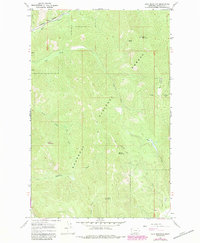
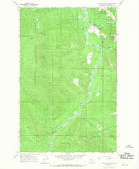
1966 Map of Calx Mountain
USGS Topo · Published 1984About this map
Kootenai National Forest dominates this topographic study of Lincoln County, showcasing a landscape defined by steep drainages and fire observation points in the mid-1960s. The presence of a Lookout Tower atop Calx Mountain reflects the critical role of forest monitoring in this timber-rich region. To the north, the Burlington Northern railroad follows the course of Wolf Creek, providing a vital industrial link through the mountains.
Find a feature on this map
23 named features on this map. Tap any name to fly to it.
Don’t see what you’re looking for? This feature index may not catch every label — zoom into the map to look around manually.
Map Details
Editions of this 1966 Calx Mountain Map
2 editions found
Other maps of this area

1920 · Jennings
USGS Topo · 1:125,000

1935 · Thompson Lakes
USGS Topo · 1:96,000

1942 · Thompson Lakes
USGS Topo · 1:125,000

1957 · Kalispell
USGS Topo · 1:250,000

1960 · Kalispell
USGS Topo · 1:250,000

1961 · Kalispell
USGS Topo · 1:250,000

1963 · Wolf Prairie
USGS Topo · 1:24,000
1963 · Tony Peak
USGS Topo · 1:24,000
1963 · Richards Mountain
USGS Topo · 1:24,000
1966 · Fisher Mountain
USGS Topo · 1:24,000