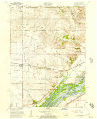
1953 Map of Camanche
USGS Topo · Published 1957About this map
The Mississippi River defines the southeastern edge of this Clinton County landscape, creating a complex network of waterways including Schricker Slough and backwaters like Nancy Elaine Lake. On the Iowa side, the town of Camanche serves as a hub of river-and-rail activity, featuring a prominent Power station and connections to the Chicago and Northwestern railroad. Further inland, the agricultural character of the mid-1950s is evident in the grid of rural schools such as Beckwith School, Tallman School, and Sodus School.
Find a feature on this map
43 named features on this map. Tap any name to fly to it.
Don’t see what you’re looking for? This feature index may not catch every label — zoom into the map to look around manually.
Map Details
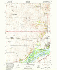
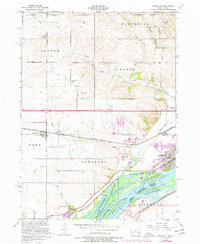
Editions of this 1953 Camanche Map
3 editions found
Other maps of this area

1891 · Clinton
USGS Topo · 1:62,500

1892 · Goose Lake
USGS Topo · 1:62,500

1892 · Leclaire
USGS Topo · 1:62,500

1893 · Leclaire
USGS Topo · 1:62,500

1894 · Goose Lake
USGS Topo · 1:62,500

1894 · Clinton
USGS Topo · 1:62,500

1899 · Clinton
USGS Topo · 1:125,000

1952 · Erie
USGS Topo · 1:62,500

1952 · Clinton
USGS Topo · 1:62,500
1952 · Cordova
USGS Topo · 1:24,000