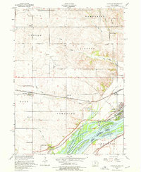
1953 Map of Camanche
USGS Topo · Published 1976About this map
The Mississippi River and its intricate secondary channels like Schricker Slough dominate this mid-century portrait of the Iowa-Illinois border. The river valley is defined by the Upper Mississippi River Wildlife and Fish Refuge, while the adjacent uplands are organized into regular township blocks including Hampshire, Lincoln, and Eden. Transportation is a central theme, with the Chicago and Northwestern and the Davenport Rock Island and Northwestern railroads converging near Camanche.
Find a feature on this map
50 named features on this map. Tap any name to fly to it.
Don’t see what you’re looking for? This feature index may not catch every label — zoom into the map to look around manually.
Map Details
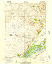
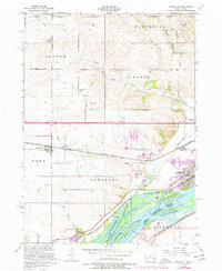
Editions of this 1953 Camanche Map
3 editions found
Other maps of this area

1891 · Clinton
USGS Topo · 1:62,500

1892 · Goose Lake
USGS Topo · 1:62,500

1892 · Leclaire
USGS Topo · 1:62,500

1893 · Leclaire
USGS Topo · 1:62,500

1894 · Goose Lake
USGS Topo · 1:62,500

1894 · Clinton
USGS Topo · 1:62,500

1899 · Clinton
USGS Topo · 1:125,000

1952 · Erie
USGS Topo · 1:62,500

1952 · Clinton
USGS Topo · 1:62,500
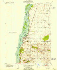
1952 · Cordova
USGS Topo · 1:24,000