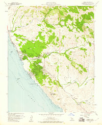
1959 Map of Cambria
USGS Topo · Published 1960About this map
The coastal terrain of San Simeon Grant Boundary and Santa Rosa meets the Pacific in this late 1950s survey. The village of Cambria serves as the focal point, showing a detailed grid of residential streets including Windsor Blvd and Cambria Pines Road. To the south, the Cambria Air Force Station overlooks the shoreline near White Rock, representing the Cold War era's military footprint on the Central Coast.
Find a feature on this map
52 named features on this map. Tap any name to fly to it.
Don’t see what you’re looking for? This feature index may not catch every label — zoom into the map to look around manually.
Map Details
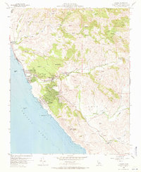
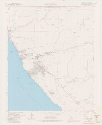
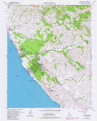
Editions of this 1959 Cambria Map
4 editions found
Other maps of this area

1897 · Cayucos
USGS Topo · 1:62,500

1900 · San Luis
USGS Topo · 1:125,000

1919 · Adelaida
USGS Topo · 1:62,500

1919 · San Simeon
USGS Topo · 1:62,500

1932 · Adelaida
USGS Topo · 1:62,500

1937 · Cayucos
USGS Topo · 1:62,500

1937 · San Simeon
USGS Topo · 1:62,500

1942 · Adelaida
USGS Topo · 1:62,500

1943 · Cayucos
USGS Topo · 1:62,500

1947 · San Luis Obispo
USGS Topo · 1:250,000