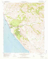
1959 Map of Cambria
USGS Topo · Published 1971About this map
The coastal village of Cambria serves as the focal point of this 1950s survey, where the winding Cabrillo Highway 1 meets a network of local roads like Main St and Windsor Blvd. The landscape transitions from the shoreline at San Simeon Beach State Park to the elevated terrain of Scott Rock and the inland valleys. Local industry and infrastructure are evident in the presence of a Sawmill and several gravel pits, while the Cambria Air Force Station represents the era's military presence along the Pacific. For genealogists and local historians, the map identifies the Cambria Cemetery and Santa Rosa Cemetery, alongside small settlements like Harmony and Leffingwell. The drainage of Santa Rosa Creek and Perry Creek dictates the inland topography, illustrating how early development followed the natural contours of the Central Coast before more intensive modern expansion.
Find a feature on this map
45 named features on this map. Tap any name to fly to it.
Don’t see what you’re looking for? This feature index may not catch every label — zoom into the map to look around manually.
Map Details
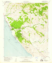
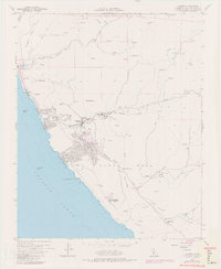
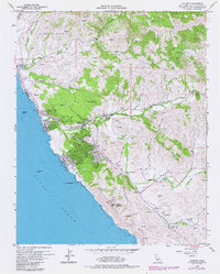
Editions of this 1959 Cambria Map
4 editions found
Other maps of this area

1897 · Cayucos
USGS Topo · 1:62,500

1900 · San Luis
USGS Topo · 1:125,000

1919 · Adelaida
USGS Topo · 1:62,500

1919 · San Simeon
USGS Topo · 1:62,500

1932 · Adelaida
USGS Topo · 1:62,500

1937 · Cayucos
USGS Topo · 1:62,500

1937 · San Simeon
USGS Topo · 1:62,500

1942 · Adelaida
USGS Topo · 1:62,500

1943 · Cayucos
USGS Topo · 1:62,500

1947 · San Luis Obispo
USGS Topo · 1:250,000