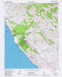
1959 Map of Cambria
USGS Topo · Published 1979About this map
The central coast of San Luis Obispo County unfolds at a time of transition between the late 1950s and the late 1970s. The settlement of Cambria is the primary hub, showing growth along Main St and into the Lodge Hill area. Further south, the small community of Harmony sits tucked along the inland hills. Coastal features include landmarks like White Rock and Von Helm Rock, while the northern reach is defined by the San Simeon Beach State Park.
Find a feature on this map
32 named features on this map. Tap any name to fly to it.
Don’t see what you’re looking for? This feature index may not catch every label — zoom into the map to look around manually.
Map Details
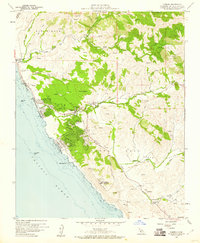
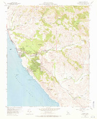
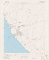
Editions of this 1959 Cambria Map
4 editions found
Other maps of this area

1897 · Cayucos
USGS Topo · 1:62,500

1900 · San Luis
USGS Topo · 1:125,000

1919 · Adelaida
USGS Topo · 1:62,500

1919 · San Simeon
USGS Topo · 1:62,500

1932 · Adelaida
USGS Topo · 1:62,500

1937 · Cayucos
USGS Topo · 1:62,500

1937 · San Simeon
USGS Topo · 1:62,500

1942 · Adelaida
USGS Topo · 1:62,500

1943 · Cayucos
USGS Topo · 1:62,500

1947 · San Luis Obispo
USGS Topo · 1:250,000