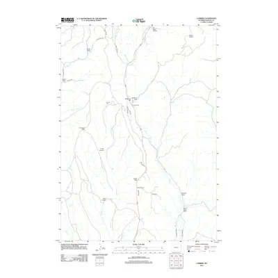
2012 Map of Cambria
USGS Topo · Published 2012About this map
Cambria Cem serves as a silent landmark above the deep drainage of Cambria Cr, marking a landscape defined by sharp elevation shifts and canyon systems. The central corridor of this Weston County terrain is carved by Salt Cr, which winds past Salt Spring and Flying V Ranch. The topography transitions from the high prominence of Mount Pisgah in the northeast to the broad, flat expanses of Antelope Flats and Jumbo Table. This area is characterized by a dense network of draws and canyons, including the morbidly named Deadman Draw near Breakneck Hill and the secluded Grant Canyon. A web of rural routes like Pine Tree Rd and Duncan Rd provides access to remote points, reflecting a modern land use focused on ranching and the management of water sources like Cave Spring.
Find a feature on this map
35 named features on this map. Tap any name to fly to it.
Don’t see what you’re looking for? This feature index may not catch every label — zoom into the map to look around manually.
Map Details
Editions of this 2012 Cambria Map
This is the sole edition of this map. No revisions or reprints were ever made.
Other maps of this area

1898 · Sundance
USGS Topo · 1:125,000

1899 · Newcastle
USGS Topo · 1:125,000

1901 · Newcastle
USGS Topo · 1:125,000

1902 · Sundance
USGS Topo · 1:125,000

1951 · Newcastle
USGS Topo · 1:24,000

1951 · Fanny Peak
USGS Topo · 1:24,000

1951 · Osage SE
USGS Topo · 1:24,000

1954 · Gillette
USGS Topo · 1:250,000

1955 · Newcastle
USGS Topo · 1:250,000

1955 · Gillette
USGS Topo · 1:250,000