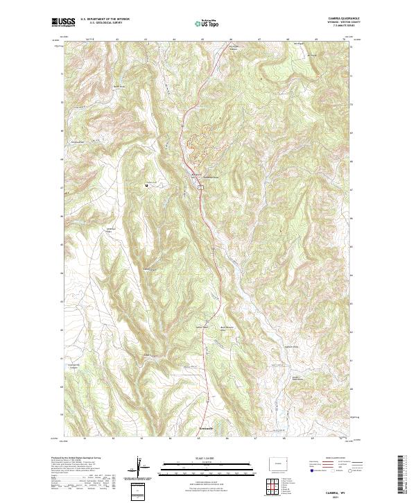
2021 Map of Cambria
USGS Topo · Published 2021About this map
Newcastle sits at the southern edge of this map, serving as a gateway to the high plateau country defined by steep canyons and named draws. To the north, the Cambria Cem remains as a focal point for genealogical research on the slopes above Cambria Cr, a landscape once shaped by the regional mining and ranching economy. The terrain transitions from the broad expanses of Antelope Flats and Jumbo Table into deeply etched drainages like Grant Canyon and Dry Gypp Canyon. A complex network of historic routes, including the Wilderness Trl and Never-Sweat Trl, winds through the breaks of Breackneck Hill, reflecting the early transportation patterns used to navigate this corner of Weston County near the shadow of Mt Pisgah.
Find a feature on this map
53 named features on this map. Tap any name to fly to it.
Don’t see what you’re looking for? This feature index may not catch every label — zoom into the map to look around manually.
Map Details
Editions of this 2021 Cambria Map
This is the sole edition of this map. No revisions or reprints were ever made.
Other maps of this area

1898 · Sundance
USGS Topo · 1:125,000

1899 · Newcastle
USGS Topo · 1:125,000

1901 · Newcastle
USGS Topo · 1:125,000

1902 · Sundance
USGS Topo · 1:125,000

1951 · Newcastle
USGS Topo · 1:24,000

1951 · Fanny Peak
USGS Topo · 1:24,000

1951 · Osage SE
USGS Topo · 1:24,000

1954 · Gillette
USGS Topo · 1:250,000

1955 · Newcastle
USGS Topo · 1:250,000

1955 · Gillette
USGS Topo · 1:250,000