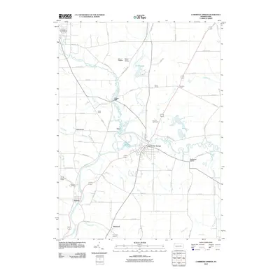
2010 Map of Cambridge Springs
USGS Topo · Published 2010About this map
French Creek meanders broadly through this corner of Crawford County, shaping the location of historic transit and settlement. The borough of Cambridge Springs serves as a central hub, while the northern reaches of the quadrangle include the campus of Edinboro University of Pennsylvania. This landscape is defined by its water network, where Little Conneauttee Creek and Conneauttee Creek converge near the winding main channel of French Creek.
Find a feature on this map
71 named features on this map. Tap any name to fly to it.
Don’t see what you’re looking for? This feature index may not catch every label — zoom into the map to look around manually.
Map Details
Editions of this 2010 Cambridge Springs Map
This is the sole edition of this map. No revisions or reprints were ever made.
Other maps of this area

1923 · Meadville
USGS Topo · 1:62,500

1923 · Cambridge Springs
USGS Topo · 1:62,500

1925 · Meadville
USGS Topo · 1:62,500

1925 · Cambridge Springs
USGS Topo · 1:62,500

1927 · Townville
USGS Topo · 1:48,000

1929 · Union City
USGS Topo · 1:62,500

1932 · Townville
USGS Topo · 1:62,500

1932 · Union City
USGS Topo · 1:62,500

1943 · Meadville
USGS Topo · 1:62,500

1943 · Cambridge Springs
USGS Topo · 1:62,500