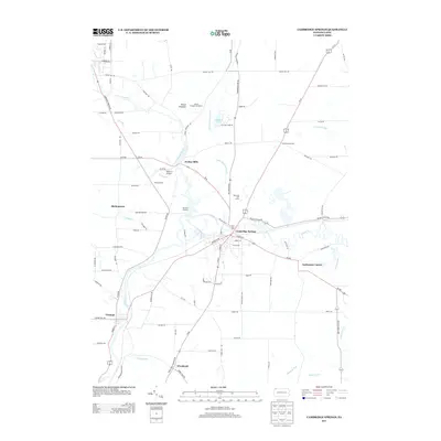
2013 Map of Cambridge Springs
USGS Topo · Published 2013About this map
Cambridge Springs serves as the central hub of this Crawford County landscape, where the waters of French Cr meet Spa Run. The town's layout reflects its history as a destination, supported by recreational landmarks such as the Riverside Golf Course and the nearby Mount Pleasant Ski Resort. This 2013 survey illustrates a transition from the structured street grids of the borough to the dispersed rural settlements that characterize the surrounding valley, including Drakes Mills and Andersons Corner.
Find a feature on this map
99 named features on this map. Tap any name to fly to it.
Don’t see what you’re looking for? This feature index may not catch every label — zoom into the map to look around manually.
Map Details
Editions of this 2013 Cambridge Springs Map
This is the sole edition of this map. No revisions or reprints were ever made.
Other maps of this area

1923 · Meadville
USGS Topo · 1:62,500

1923 · Cambridge Springs
USGS Topo · 1:62,500

1925 · Meadville
USGS Topo · 1:62,500

1925 · Cambridge Springs
USGS Topo · 1:62,500

1927 · Townville
USGS Topo · 1:48,000

1929 · Union City
USGS Topo · 1:62,500

1932 · Townville
USGS Topo · 1:62,500

1932 · Union City
USGS Topo · 1:62,500

1943 · Meadville
USGS Topo · 1:62,500

1943 · Cambridge Springs
USGS Topo · 1:62,500