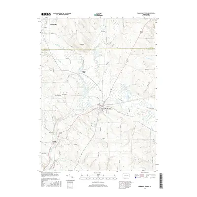
2016 Map of Cambridge Springs
USGS Topo · Published 2016About this map
French Creek carves a winding path through this corner of Northwest Pennsylvania, serving as a primary corridor for the borough of Cambridge Springs and the village of Venango. The landscape is a mix of fertile valley bottoms and prominent rises like Mt Pleasant, where rural life is anchored by longstanding settlements and family-named landmarks. The mapping detail highlights the intersection of water and transport, showing how Little Conneauttee Cr and Conneauttee Creek feed into the larger French Creek drainage system.
Find a feature on this map
82 named features on this map. Tap any name to fly to it.
Don’t see what you’re looking for? This feature index may not catch every label — zoom into the map to look around manually.
Map Details
Editions of this 2016 Cambridge Springs Map
This is the sole edition of this map. No revisions or reprints were ever made.
Other maps of this area

1923 · Meadville
USGS Topo · 1:62,500

1923 · Cambridge Springs
USGS Topo · 1:62,500

1925 · Meadville
USGS Topo · 1:62,500

1925 · Cambridge Springs
USGS Topo · 1:62,500

1927 · Townville
USGS Topo · 1:48,000

1929 · Union City
USGS Topo · 1:62,500

1932 · Townville
USGS Topo · 1:62,500

1932 · Union City
USGS Topo · 1:62,500

1943 · Meadville
USGS Topo · 1:62,500

1943 · Cambridge Springs
USGS Topo · 1:62,500