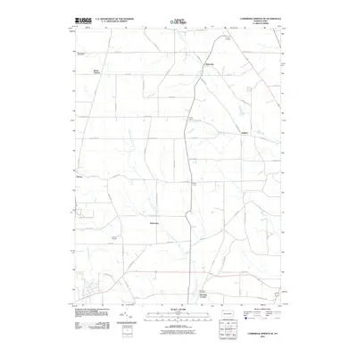
2010 Map of Cambridge Springs NE
USGS Topo · Published 2010About this map
Little Conneauttee Creek and Elk Creek define the drainage of this Pennsylvania landscape, where rural intersections evolved into distinct small communities. The map highlights a network of namesake settlements such as Strongs Corners, Sharps Corners, and Reeds Corners, reflecting the historical importance of local crossroads in Erie County. In the southern portion of the sheet, McLallen Corners and the McLallen Post Office serve as focal points for local administration and commerce, while Draketown sits central to the creek's path. The presence of Carlson Airport and the South Woods Golf Course indicates modern land-use shifts amidst the traditional farm roads and agricultural plots that have long characterized the region around McLane.
Find a feature on this map
58 named features on this map. Tap any name to fly to it.
Don’t see what you’re looking for? This feature index may not catch every label — zoom into the map to look around manually.
Map Details
Editions of this 2010 Cambridge Springs NE Map
This is the sole edition of this map. No revisions or reprints were ever made.
Other maps of this area

1899 · Erie
USGS Topo · 1:62,500

1900 · Erie
USGS Topo · 1:62,500

1913 · North East
USGS Topo · 1:62,500

1915 · North East
USGS Topo · 1:62,500

1923 · Cambridge Springs
USGS Topo · 1:62,500

1925 · Cambridge Springs
USGS Topo · 1:62,500

1929 · Union City
USGS Topo · 1:62,500

1932 · Union City
USGS Topo · 1:62,500

1943 · North East
USGS Topo · 1:62,500

1943 · Cambridge Springs
USGS Topo · 1:62,500
Featured Places
- McKean Township, PA
- McLallen Corners, PA
- LeBoeuf Township, PA
- Washington Township, PA
- Waterford Township, PA