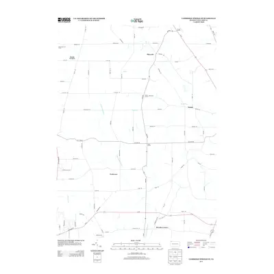
2013 Map of Cambridge Springs NE
USGS Topo · Published 2013About this map
Draketown and Sibleyville anchor this corner of Erie County, where the landscape is defined by a dense network of country roads and small creek valleys. The drainage patterns of Little Conneauttee Cr and Elk Cr dictate the layout of early rural settlements, many of which are identified as "Corners," such as Phelps Corners, Strongs Corners, and McLallen Corners. These labels point to a historic pattern of development clustered at crossroads, a hallmark of the Pennsylvania rural economy in this region.
Find a feature on this map
69 named features on this map. Tap any name to fly to it.
Don’t see what you’re looking for? This feature index may not catch every label — zoom into the map to look around manually.
Map Details
Editions of this 2013 Cambridge Springs NE Map
This is the sole edition of this map. No revisions or reprints were ever made.
Other maps of this area

1899 · Erie
USGS Topo · 1:62,500

1900 · Erie
USGS Topo · 1:62,500

1913 · North East
USGS Topo · 1:62,500

1915 · North East
USGS Topo · 1:62,500

1923 · Cambridge Springs
USGS Topo · 1:62,500

1925 · Cambridge Springs
USGS Topo · 1:62,500

1929 · Union City
USGS Topo · 1:62,500

1932 · Union City
USGS Topo · 1:62,500

1943 · North East
USGS Topo · 1:62,500

1943 · Cambridge Springs
USGS Topo · 1:62,500
Featured Places
- McKean Township, PA
- McLallen Corners, PA
- LeBoeuf Township, PA
- Washington Township, PA
- Waterford Township, PA