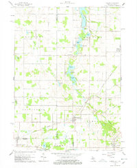
1960 Map of Camden
USGS Topo · Published 1978About this map
The New York Central railroad corridor anchors this survey of the tri-state border region where Michigan, Indiana, and Ohio converge. Several small agricultural hubs punctuate the landscape, most notably Montgomery and Reading, providing a look at the rural economy before the full consolidation of modern infrastructure. The terrain is defined by a dense network of glacial water bodies, including Long Lake, Loon Lake, and Clear Lake, which historically supported local recreation and drainage into the St Joseph River system via the West Fork West Branch St Joseph River. Genealogists will find significant value in the distribution of family and community landmarks, such as East Algansee Ch, West Reading Ch, and several rural burial grounds like Maple Lawn Cem and Gleason Cem, which reveal the historical settlement patterns of Hillsdale and Branch counties.
Find a feature on this map
50 named features on this map. Tap any name to fly to it.
Don’t see what you’re looking for? This feature index may not catch every label — zoom into the map to look around manually.
Map Details
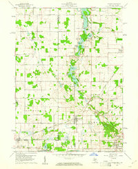
Editions of this 1960 Camden Map
2 editions found
Other maps of this area

1914 · Pioneer
USGS Topo · 1:62,500

1939 · Angola East
USGS Topo · 1:24,000

1939 · Clear Lake
USGS Topo · 1:24,000

1940 · Clear Lake
USGS Topo · 1:24,000

1944 · Pioneer
USGS Topo · 1:62,500

1947 · Angola East
USGS Topo · 1:24,000

1953 · Fort Wayne
USGS Topo · 1:250,000

1956 · Fort Wayne
USGS Topo · 1:250,000

1959 · Hillsdale
USGS Topo · 1:24,000

1959 · Reading
USGS Topo · 1:24,000