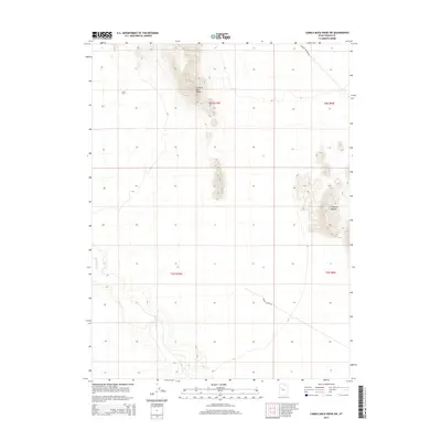
2014 Map of Camels Back Ridge SW
USGS Topo · Published 2014About this map
The dry remains of the Old River Bed dominate the western half of this Tooele County landscape, tracing a prehistoric watercourse through the desert floor. This ancient hydrological feature, which once connected northern basins, is framed by the dramatic elevations of Camels Back Ridge to the north and the jagged outcrops of Simpson Buttes to the east. Evidence of modern land use and military-adjacent infrastructure appears in the form of a Tower Grid and established transit routes like Dugway Access Rd and Simpson Buttes Rd. The map illustrates a stark environment where the natural topography of the Great Basin meets the functional requirements of the surrounding range, providing a precise record of the desert's physical and logistical character in the early 21st century.
Find a feature on this map
10 named features on this map. Tap any name to fly to it.
Don’t see what you’re looking for? This feature index may not catch every label — zoom into the map to look around manually.
Map Details
Editions of this 2014 Camels Back Ridge SW Map
This is the sole edition of this map. No revisions or reprints were ever made.
Other maps of this area

1885 · Sevier Desert
USGS Topo · 1:250,000

1885 · Tooele Valley
USGS Topo · 1:250,000

1908 · Fish Springs
USGS Topo · 1:250,000

1910 · Fish Springs
USGS Topo · 1:250,000

1953 · Dugway Range NE
USGS Topo · 1:24,000

1953 · Dugway Range
USGS Topo · 1:62,500

1953 · Tooele
USGS Topo · 1:250,000

1953 · Delta
USGS Topo · 1:250,000

1954 · Dugway Proving Ground SE
USGS Topo · 1:24,000

1954 · Dugway Proving Ground NE
USGS Topo · 1:24,000