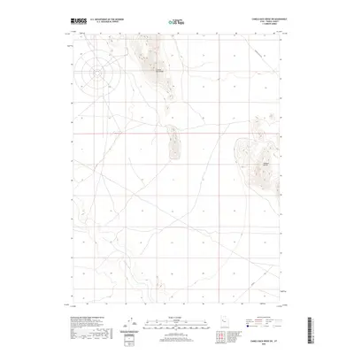
2020 Map of Camels Back Ridge SW
USGS Topo · Published 2020About this map
Camels Back Ridge dominates this northern section of the Great Salt Lake Desert, where high desert elevations meet the historical traces of ancient geography. The topographic survey documents a transition from the rising slopes of the ridge and the isolated peaks of the Simpson Buttes to the low-lying flats defined by the Old River Bed. This waterway trace represents a significant geological corridor through Tooele County, marking where prehistoric waters once flowed across the basin floor. Infrastructure is minimal in this arid landscape, primarily limited to the rugged Simpson Buttes Rd and the local route identified as Tc02854, which navigate the open terrain between these prominent landforms.
Find a feature on this map
5 named features on this map. Tap any name to fly to it.
Don’t see what you’re looking for? This feature index may not catch every label — zoom into the map to look around manually.
Map Details
Editions of this 2020 Camels Back Ridge SW Map
This is the sole edition of this map. No revisions or reprints were ever made.
Other maps of this area

1885 · Sevier Desert
USGS Topo · 1:250,000

1885 · Tooele Valley
USGS Topo · 1:250,000

1908 · Fish Springs
USGS Topo · 1:250,000

1910 · Fish Springs
USGS Topo · 1:250,000

1953 · Dugway Range NE
USGS Topo · 1:24,000

1953 · Dugway Range
USGS Topo · 1:62,500

1953 · Tooele
USGS Topo · 1:250,000

1953 · Delta
USGS Topo · 1:250,000

1954 · Dugway Proving Ground SE
USGS Topo · 1:24,000

1954 · Dugway Proving Ground NE
USGS Topo · 1:24,000