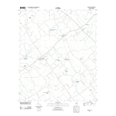
2011 Map of Cameron
USGS Topo · Published 2011About this map
Cameron serves as the central hub of this agricultural landscape in Calhoun County, characterized by a complex network of wetlands and managed water resources. The town is anchored by the Cameron Post Office, with roads like State HWY 9 154 and State HWY 9 100 connecting it to outlying settlements at Creston and Midway. The terrain is defined by the expansive Four Hole Swamp and Bull Swamp, which feed into numerous tributaries such as Flea Bite Creek and Polk Spring Creek.
Find a feature on this map
88 named features on this map. Tap any name to fly to it.
Don’t see what you’re looking for? This feature index may not catch every label — zoom into the map to look around manually.
Map Details
Editions of this 2011 Cameron Map
This is the sole edition of this map. No revisions or reprints were ever made.
Other maps of this area

1920 · Bowman
USGS Topo · 1:48,000

1920 · Orangeburg
USGS Topo · 1:48,000

1921 · Orangeburg
USGS Topo · 1:62,500

1921 · Bowman
USGS Topo · 1:62,500

1943 · Bowman
USGS Topo · 1:62,500

1943 · Orangeburg
USGS Topo · 1:125,000

1943 · Orangeburg
USGS Topo · 1:62,500

1946 · Elloree
USGS Topo · 1:62,500

1946 · St. Matthews
USGS Topo · 1:62,500

1954 · Augusta
USGS Topo · 1:250,000