Loading...
Loading map...2024 Map of Cameron
USGS Topo · Published 2024About this map
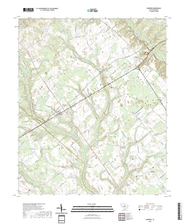
Cameron serves as the central hub of this South Carolina landscape, positioned at the intersection of Old State Rd 176 and Cameron Rd. The surrounding countryside is defined by the complex hydrology of Four Hole Swamp and Bull Swamp, where numerous family-named impoundments like T C Moss Pond and Jessie Rast Pond suggest a history of local land management and agriculture.
Find a feature on this map
91 named features on this map. Tap any name to fly to it.
Don’t see what you’re looking for? This feature index may not catch every label — zoom into the map to look around manually.
Map Details
Date Portrayed2024
Date Published2024
PublisherU.S. Geological Survey
Map TypeTopographic
Scale1:24000
Physical Dimensions24 x 29 inches
Editions of this 2024 Cameron Map
This is the sole edition of this map. No revisions or reprints were ever made.
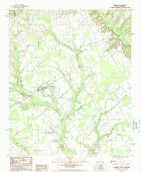
Historical Maps of Midway Through Time
Featured Locations
Source Details
SourceU.S. Geological Survey
CopyrightPublic Domain