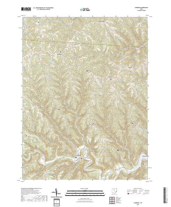
2023 Map of Cameron
USGS Topo · Published 2023About this map
Sunfish Creek carves a deep valley through the dissected plateau of Monroe and Belmont Counties, anchoring a landscape defined by sharp ridges and family-named landmarks. The village of Cameron sits along this drainage, joined by the smaller settlements of Bingham and Switzer on the higher ground. The map reveals a dense network of upland cemeteries, including Zion Methodist Cem, Hartline Cem, and Pontius Cem, which serve as silent witnesses to the generations of families who farmed these narrow divides. Long, winding ridges like Pugh Ridge, Clover Ridge, and Headley Ridge dictate the course of local roads and property lines. The geography here is typical of the Appalachian foothills, where historical travel and settlement followed the natural spine of the land or the narrow floor of runs like Ackerson Run and Paine Run.
Find a feature on this map
107 named features on this map. Tap any name to fly to it.
Don’t see what you’re looking for? This feature index may not catch every label — zoom into the map to look around manually.
Map Details
Editions of this 2023 Cameron Map
This is the sole edition of this map. No revisions or reprints were ever made.
Other maps of this area

1905 · Clarington
USGS Topo · 1:62,500

1905 · New Matamoras
USGS Topo · 1:62,500

1905 · Woodsfield
USGS Topo · 1:62,500

1906 · New Martinsville
USGS Topo · 1:62,500

1924 · New Martinsville
USGS Topo · 1:62,500

1924 · New Matamoras
USGS Topo · 1:62,500

1926 · New Martinsville
USGS Topo · 1:62,500

1926 · New Matamoras
USGS Topo · 1:62,500

1935 · Clarington
USGS Topo · 1:62,500

1940 · Clarington
USGS Topo · 1:62,500