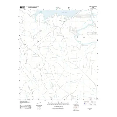
2010 Map of Camilla
USGS Topo · Published 2010About this map
Livingston Reservoir dominates the northern reaches of this East Texas landscape, where the waters of the Trinity River carve deep meanders such as Simon Peter Bend. The area around Camilla and Rose Hill is characterized by a dense network of creeks and branches, including Huffman Creek and Henry Lake Branch, which drain into the river bottomlands. This 2010 survey reveals a quiet, rural geography defined by small-scale settlements and numerous family and community burial grounds, such as the Mitchell Cemetery, Milby Hill Cemetery, and Ellis Cemetery.
Find a feature on this map
46 named features on this map. Tap any name to fly to it.
Don’t see what you’re looking for? This feature index may not catch every label — zoom into the map to look around manually.
Map Details
Editions of this 2010 Camilla Map
This is the sole edition of this map. No revisions or reprints were ever made.
Other maps of this area

1943 · Liberty
USGS Topo · 1:125,000

1954 · Beaumont
USGS Topo · 1:250,000

1955 · Rayburn
USGS Topo · 1:62,500

1957 · Beaumont
USGS Topo · 1:250,000

1958 · Westcott
USGS Topo · 1:24,000

1958 · Livingston
USGS Topo · 1:62,500

1958 · Bear Creek
USGS Topo · 1:24,000

1960 · Blanchard
USGS Topo · 1:24,000

1960 · Stephen Creek
USGS Topo · 1:24,000

1960 · Camilla
USGS Topo · 1:24,000