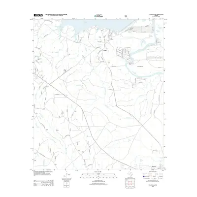
2013 Map of Camilla
USGS Topo · Published 2013About this map
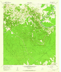
Livingston Reservoir defines the northern edge of this San Jacinto County landscape, where the waters meet a network of small settlements and family burying grounds. The community of Camilla sits near the reservoir's edge, surrounded by several smaller historic sites including Milby Hill Cem and Mitchell Cem. To the south, the terrain transitions into the creek-carved bottomlands of the Trinity River, which makes a dramatic loop at Simon Peter Bend.
Find a feature on this map
112 named features on this map. Tap any name to fly to it.
Don’t see what you’re looking for? This feature index may not catch every label — zoom into the map to look around manually.
Map Details
Editions of this 2013 Camilla Map
This is the sole edition of this map. No revisions or reprints were ever made.
Other maps of this area
1943 · Liberty
USGS Topo · 1:125,000

1954 · Beaumont
USGS Topo · 1:250,000
1955 · Rayburn
USGS Topo · 1:62,500

1957 · Beaumont
USGS Topo · 1:250,000
1958 · Westcott
USGS Topo · 1:24,000
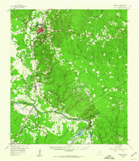
1958 · Livingston
USGS Topo · 1:62,500
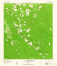
1958 · Bear Creek
USGS Topo · 1:24,000
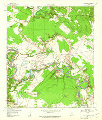
1960 · Blanchard
USGS Topo · 1:24,000
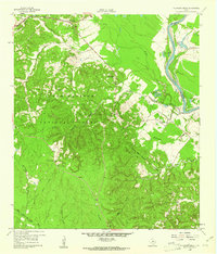
1960 · Stephen Creek
USGS Topo · 1:24,000
1960 · Camilla
USGS Topo · 1:24,000