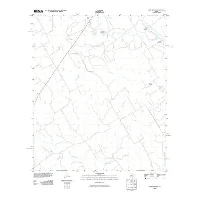
2010 Map of Camp Branch
USGS Topo · Published 2010About this map
Flanary Cemetery sits near the eastern edge of this landscape, a quiet marker of the local genealogy in the central Texas ranchlands. The area is defined by a dendritic network of seasonal and perennial waterways that feed the East Bosque River and the West Fork East Bosque River. Small reservoirs are scattered throughout the territory, held by structures such as El Colina Lake Dam, Upper House Lake Dam, and House Lake Dam, reflecting the critical importance of water management in this rural environment.
Find a feature on this map
32 named features on this map. Tap any name to fly to it.
Don’t see what you’re looking for? This feature index may not catch every label — zoom into the map to look around manually.
Map Details
Editions of this 2010 Camp Branch Map
This is the sole edition of this map. No revisions or reprints were ever made.
Other maps of this area

1888 · Hamilton
USGS Topo · 1:125,000

1888 · Meridian
USGS Topo · 1:125,000

1889 · Granbury
USGS Topo · 1:125,000

1890 · Stephenville
USGS Topo · 1:125,000

1894 · Hamilton
USGS Topo · 1:125,000

1894 · Meridian
USGS Topo · 1:125,000

1920 · Stephenville
USGS Topo · 1:125,000

1954 · Brownwood
USGS Topo · 1:250,000

1954 · Dallas
USGS Topo · 1:250,000

1954 · Waco
USGS Topo · 1:250,000