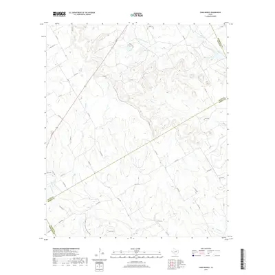
2019 Map of Camp Branch
USGS Topo · Published 2019About this map
The W Fork E Bosque River and its numerous tributaries define this corner of the Texas Cross Timbers where Erath, Bosque, Somervell, and Hamilton counties meet. The landscape is characterized by a dense network of seasonal creeks and branches, including Rocky Cr, Duffau Cr, and Walker Br, which drain the undulating terrain into larger water bodies like El Colina Lake and Upper House Lake.
Find a feature on this map
47 named features on this map. Tap any name to fly to it.
Don’t see what you’re looking for? This feature index may not catch every label — zoom into the map to look around manually.
Map Details
Editions of this 2019 Camp Branch Map
This is the sole edition of this map. No revisions or reprints were ever made.
Other maps of this area

1888 · Hamilton
USGS Topo · 1:125,000

1888 · Meridian
USGS Topo · 1:125,000

1889 · Granbury
USGS Topo · 1:125,000

1890 · Stephenville
USGS Topo · 1:125,000

1894 · Hamilton
USGS Topo · 1:125,000

1894 · Meridian
USGS Topo · 1:125,000

1920 · Stephenville
USGS Topo · 1:125,000

1954 · Brownwood
USGS Topo · 1:250,000

1954 · Dallas
USGS Topo · 1:250,000

1954 · Waco
USGS Topo · 1:250,000