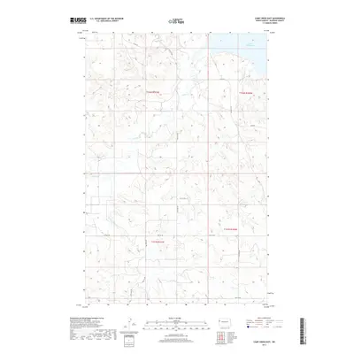
2017 Map of Camp Creek East
USGS Topo · Published 2017About this map
Lake Sakakawea occupies the northeast corner of this McKenzie County landscape, where the Missouri River valley was transformed by mid-century engineering. The terrain is defined by the complex drainage systems of Timber Cr and Camp Creek, which carve deep coulees into the high plains. This 2017 survey reveals a grid of rural infrastructure, where Co RD 29 and a network of section-line roads like 139th Ave NW and 34th St NW provide access to the vast ranchlands and agricultural plots. The map detail reflects the modern Public Land Survey System organization of Townships 151N and 152N, illustrating how the contemporary cattle and grain economy is mapped onto the underlying Missouri River breaks topography.
Find a feature on this map
16 named features on this map. Tap any name to fly to it.
Don’t see what you’re looking for? This feature index may not catch every label — zoom into the map to look around manually.
Map Details
Editions of this 2017 Camp Creek East Map
This is the sole edition of this map. No revisions or reprints were ever made.
Other maps of this area

1911 · Ray
USGS Topo · 1:125,000

1953 · Williston
USGS Topo · 1:250,000

1953 · Watford City
USGS Topo · 1:250,000

1957 · Williston
USGS Topo · 1:250,000

1957 · Watford City
USGS Topo · 1:250,000

1967 · Watford City
USGS Topo · 1:250,000

1972 · Alexander
USGS Topo · 1:24,000

1972 · Rawson
USGS Topo · 1:24,000

1978 · Lake Jessie
USGS Topo · 1:24,000

1978 · Watford City NW
USGS Topo · 1:24,000