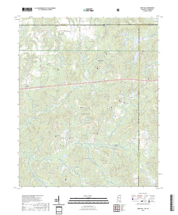
2024 Map of Camp Hill
USGS Topo · Published 2024About this map
The Cumberland Plateau extends through this borderland region where the Tennessee and Mississippi state lines meet, creating a landscape defined by the drainage of the Wolf River and its numerous tributaries like Sourwood Creek and Turkey Creek. In the heart of the Holly Springs National Forest, the small settlement of Brody sits north of the river, while New Canaan and Hopewell anchor the northern reaches of the quadrangle.
Find a feature on this map
82 named features on this map. Tap any name to fly to it.
Don’t see what you’re looking for? This feature index may not catch every label — zoom into the map to look around manually.
Map Details
Editions of this 2024 Camp Hill Map
This is the sole edition of this map. No revisions or reprints were ever made.
Other maps of this area

1950 · Ashland
USGS Topo · 1:62,500

1950 · Middleton
USGS Topo · 1:24,000

1950 · Grand Junction
USGS Topo · 1:24,000

1951 · Middleton
USGS Topo · 1:24,000

1951 · Grand Junction
USGS Topo · 1:24,000

1951 · Walnut
USGS Topo · 1:62,500

1952 · Saulsbury
USGS Topo · 1:24,000

1956 · Blytheville
USGS Topo · 1:250,000

1956 · Tupelo
USGS Topo · 1:250,000

1958 · Tupelo
USGS Topo · 1:250,000