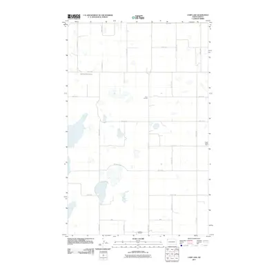
2011 Map of Camp Lake
USGS Topo · Published 2011About this map
The rolling prairie of northwest North Dakota is defined by a grid of rural section roads and scattered prairie potholes in this 2011 survey. Local genealogy and settlement history are anchored by two burial grounds: West Writing Rock Cemetery in the northwest and Bethel Cemetery centrally located along the township lines. The landscape is largely agricultural, with movement dictated by corridors like County Hwy-3 and County Hwy-5. Near the southern edge of the sheet, the Grenora Aairport serves as a modern transportation hub for the remote region, while the Fertile Valley Dam in the east manages the drainage of this prairie landscape. The map provides a precise look at the land division and water management systems in Williams County during the early 21st century.
Find a feature on this map
20 named features on this map. Tap any name to fly to it.
Don’t see what you’re looking for? This feature index may not catch every label — zoom into the map to look around manually.
Map Details
Editions of this 2011 Camp Lake Map
This is the sole edition of this map. No revisions or reprints were ever made.
Other maps of this area

1946 · Brush Lake
USGS Topo · 1:24,000

1948 · Grenora
USGS Topo · 1:24,000

1948 · Hanks
USGS Topo · 1:24,000

1948 · Brush Lake
USGS Topo · 1:24,000

1953 · Williston
USGS Topo · 1:250,000

1954 · Wolf Point
USGS Topo · 1:250,000

1957 · Williston
USGS Topo · 1:250,000

1958 · Wolf Point
USGS Topo · 1:250,000

1983 · Westby South
USGS Topo · 1:24,000

1983 · Writing Rock North
USGS Topo · 1:24,000