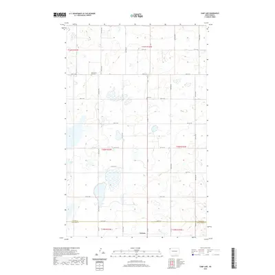
2020 Map of Camp Lake
USGS Topo · Published 2020About this map
Grenora sits on the southern edge of this West North Dakota landscape, where the prairie begins to transition across the Divide Co and Williams Co line. The terrain is defined by a dense network of seasonal wetlands and small basins typical of the Missouri Coteau, including the namesake Camp Lake. Settlement patterns are traced through a strict section-line road grid, including Co Hwy 5 and numerous township roads like 90th St NW. For those researching local heritage, the map identifies significant landmarks of early community life such as West Writing Rock Cem and Bethel Cem, which remain as permanent fixtures in this primarily agricultural region during the early twenty-first century.
Find a feature on this map
30 named features on this map. Tap any name to fly to it.
Don’t see what you’re looking for? This feature index may not catch every label — zoom into the map to look around manually.
Map Details
Editions of this 2020 Camp Lake Map
This is the sole edition of this map. No revisions or reprints were ever made.
Other maps of this area

1946 · Brush Lake
USGS Topo · 1:24,000

1948 · Grenora
USGS Topo · 1:24,000

1948 · Hanks
USGS Topo · 1:24,000

1948 · Brush Lake
USGS Topo · 1:24,000

1953 · Williston
USGS Topo · 1:250,000

1954 · Wolf Point
USGS Topo · 1:250,000

1957 · Williston
USGS Topo · 1:250,000

1958 · Wolf Point
USGS Topo · 1:250,000

1983 · Westby South
USGS Topo · 1:24,000

1983 · Writing Rock North
USGS Topo · 1:24,000